
When looking at a weather map of France in the middle of summer, the colors increasingly turn bright red. This observation leads many families to wonder where to settle for the decades to come. The reference warming trajectory (TRACC) predicts an average increase of +2.7 °C for metropolitan France by 2050, with very different consequences depending on the territories.
Urban heat and rising sea levels: two underestimated criteria
Climate comparisons by large region (Brittany versus Provence, north versus south) often overlook what is happening within the cities themselves.
The number of cities exposed to extreme temperatures will almost triple by 2050. The challenge is therefore not only to choose the right latitude but to check how a city concretely manages the overheating of its streets, buildings, and transportation.
Another blind spot: rising waters. The BRGM forecasts a significant rise in sea levels as early as 2050 along the French coasts. Cities like Bordeaux, Nantes, or La Rochelle are directly affected. When discussing the best places to live in 2050, this coastal parameter must be considered even before looking at summer temperatures.
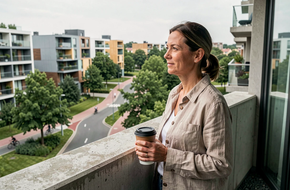
Resilient cities in France: beyond the north-south ranking
Reducing the issue to “the north will be better than the south” simplifies a complex problem. Some municipalities in the south are investing heavily in adaptation, while cities in the north remain vulnerable to flooding.
Have you ever noticed that some streets stay cool during a heatwave, while others become stifling? This is the difference between a city that greenifies its public spaces and a city that retains miles of dark asphalt. This criterion, known as “urban heat island,” weighs as much as the regional climate in daily comfort.
What distinguishes a city adapted to climate change
- Water management during drought periods: recycling wastewater, winter storage, proactive rather than reactive restrictions. A municipality that plans its reserves as early as January manages summer better than one that waits until July.
- Real greening of city centers, not just a few planters at a roundabout, but tree corridors capable of lowering the perceived temperature by several degrees.
- Bioclimatic urban planning in new constructions: orientation of facades, natural ventilation, light-colored roofing materials. These technical choices determine whether a home remains livable without air conditioning.
- Recently updated natural risk prevention plans, incorporating climate projections for 2050 and not just historical data.
Medium-sized cities that check several of these boxes already exist in Brittany, Normandy, and the Hauts-de-France. But they are not the only ones: some municipalities in Occitanie are also working on their resilience to heat, according to experts consulted by the regional press.
Overall quality of life: climate is not everything
The EIU 2026 ranking of the most pleasant cities in the world places Copenhagen at the top for the second consecutive year. The highest-rated cities are concentrated in Western Europe and a few Australian metropolises. Why does this detail matter? Because it shows that quality of life depends as much on infrastructure and services as on climate.
A territory can offer bearable summers but lack hospitals, transportation, or jobs. Conversely, a large city exposed to heat can compensate with a strong health network, accessible green spaces, and a dynamic economy.
Concrete criteria to check before moving
Rather than following a generic ranking, it is more useful to examine the local situation with precise data:
- Flood risk of the municipality (available on the Géorisques portals).
- History of natural disaster decrees over the last ten years.
- Availability of water resources: some areas already experience restrictions for four months a year in summer.
- Economic and demographic dynamism, as a climate refuge without jobs or services quickly becomes a trap.
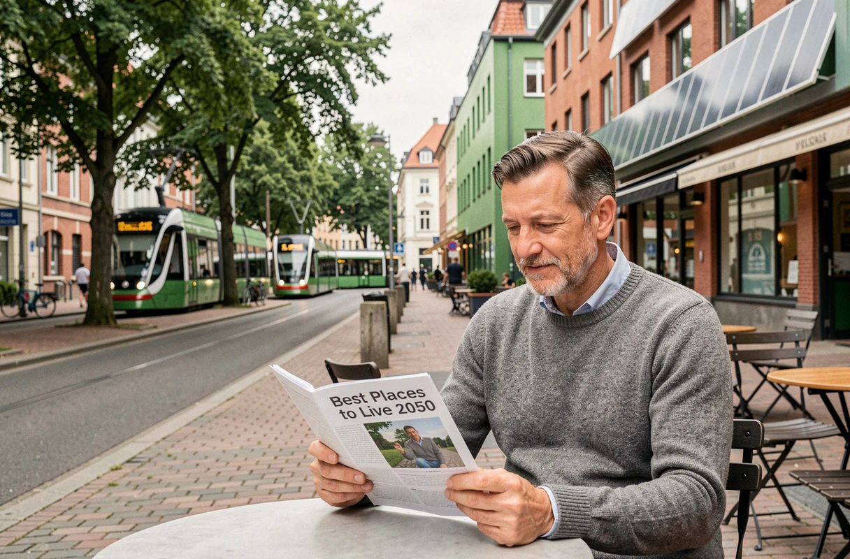
Fires and emerging risks: the new map of areas to watch
The risk of wildfires no longer concerns just the Mediterranean region. Projections show a gradual extension of the risk area towards the center and west of France. Departments historically spared are beginning to record fire outbreaks during the summer.
This evolution changes the hierarchy of attractive territories. A house on the edge of a forest in Lot or Dordogne, long considered an ideal living environment, can become a source of concern if the surrounding vegetation dries out for several months a year.
Checking the forest fire risk prevention plan of a municipality before buying real estate there is no longer an excessive precaution. It is a process comparable to consulting seismic risk in the southeast.
Adapting your home rather than fleeing: a third way
Moving is not always possible or desirable. Some homeowners choose to renovate their homes to make them compatible with the climate of 2050. External insulation, projecting shutters, green roofs, or Provençal wells: these technical solutions can provide several degrees of indoor comfort without air conditioning.
This approach has an often-overlooked advantage. It maintains the social and economic fabric of exposed territories, instead of concentrating the population in a few “refuge” areas that could then become saturated.
The choice of living location in 2050 is not just a line on a map. Families that consider local climate, the municipality’s adaptability, and overall quality of life make better decisions than those who only look at the average temperature in August.